
The Watershed Floating Season’s Beauty
The floating water season in the An Giang watershed is distinguished by the alluvial reddish brown color blended with the golden sunset.
Huynh Phuc Hau's series introduces readers to the vast water fields of An Giang province's Chau Doc and Tinh Bien regions.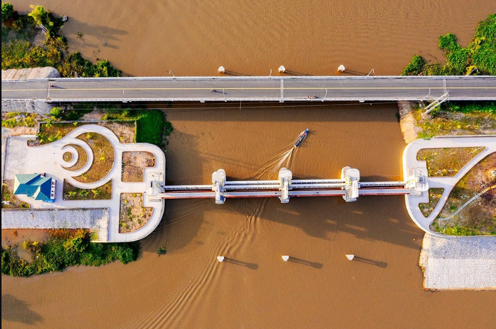 An Giang is a province that borders Cambodia via Tinh Bien (Tịnh Biên), Tan Chau (Tân Châu), An Phu (An Phú), and Chau Doc (Châu Đốc) City. This is also the source of the Hau (Hậu) River, which flows into the Mekong Delta. The dam in Tinh Bien shown in the photo is to stop the Tra Su (Trà Sư).
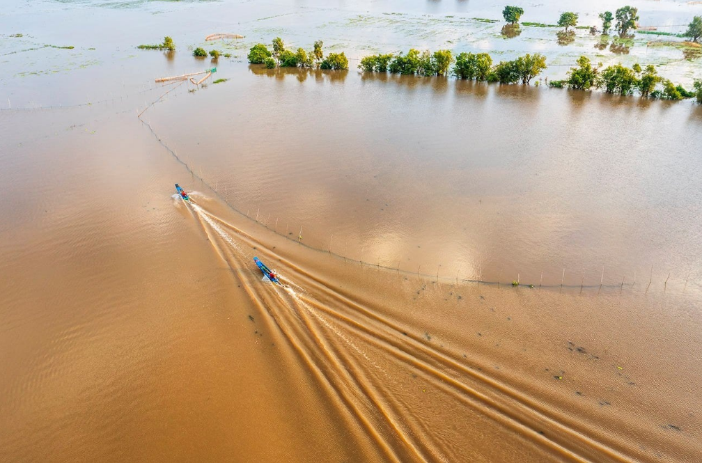 An Giang and Dong Thap (Đồng Tháp) are the first places in the West to catch floodwaters. Dong Thap (Đồng Tháp) is the Tien (Tiền) River flood, while An Giang is the Hau River flood. The beauty of the An Giang watershed floodplain is the fields flooded with red silt.
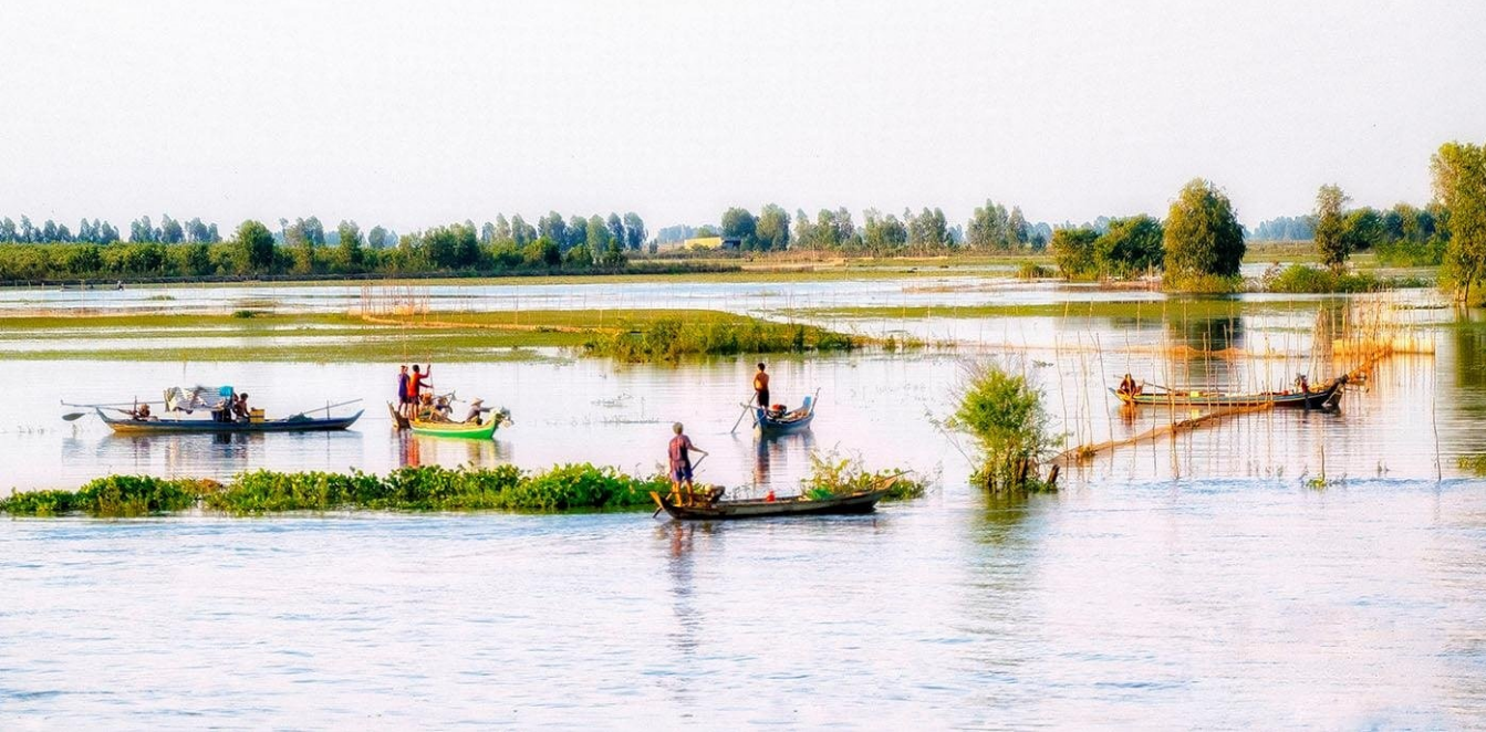 The beauty of today's flood is more than just a formality; the flood brings shrimp to fish to this land and silt accretion, making the field more fertile and lush. The image depicts a fishing scene in the flooded area of Vinh Te (Vĩnh Tế), Chau Doc (Châu Đốc).
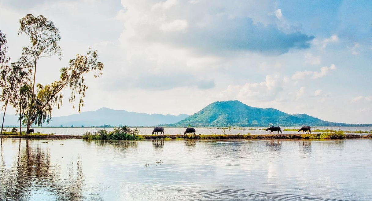 When flood banks (dikes) were not built in the past, the water rose much higher. As a result, the flood season is also a breeding season for many local products. Because there is a flood barrier, the water overflows the field less, which benefits the shrimp and fish. People's lives are also less impoverished as a result.
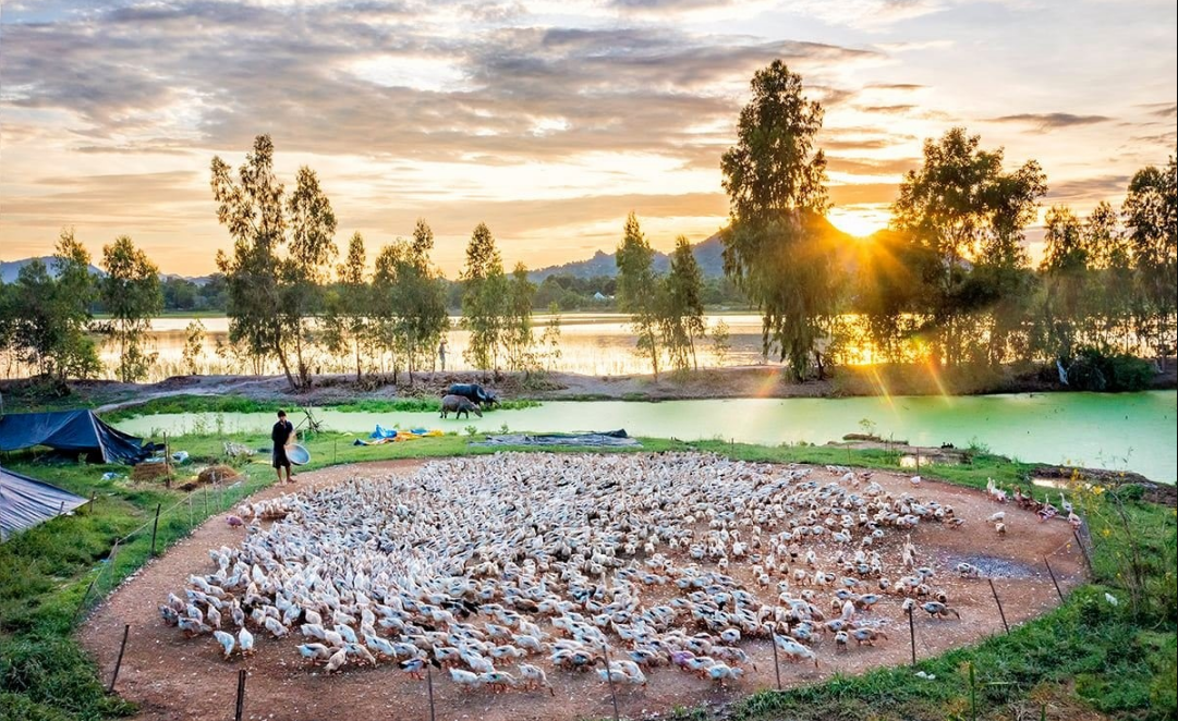 Flocks of ducks are gathered by a high mound in a flooded field in Nhon Hung (Nhơn Hưng), Tinh Bien (Tịnh Biên) district.
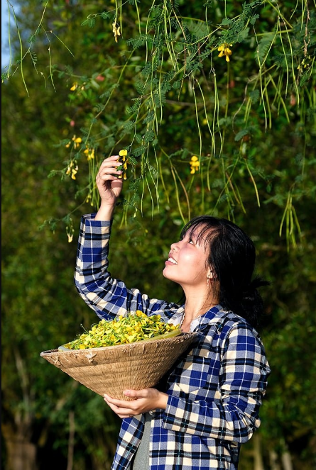 Chau Doc's bông điên điển picking village on the banks of the Vinh Chi canal. The rising water season is also the season for bông điên điển, linh fish (cá linh), and a variety of other specialties. Điên điển grows wild on the banks of canals or fish ponds, and the water blooms every season, becoming a popular dish for many people.
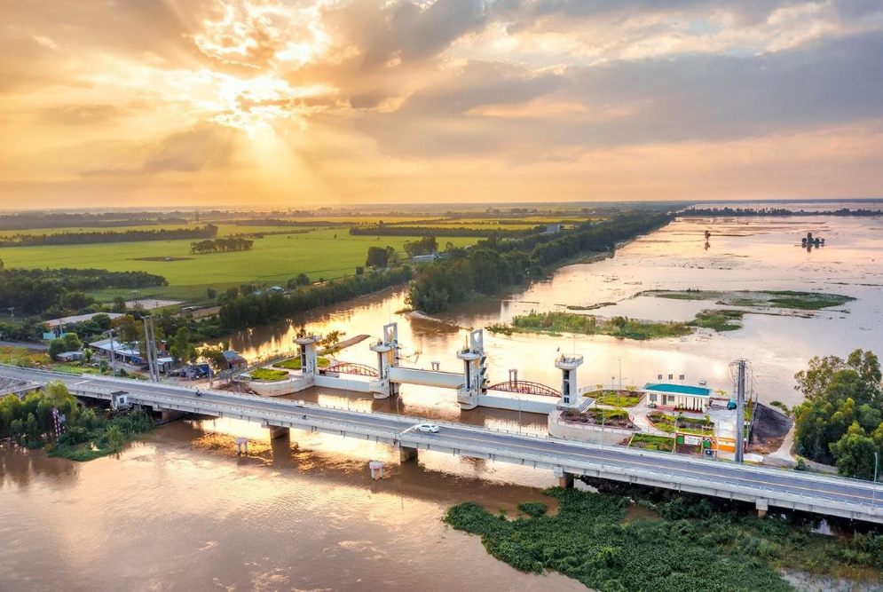 Tinh Bien's (Tịnh Biên) Tra Su (Trà Sư) water field in the afternoon. On one side, there is a flooded field, and on the other, the rice is green. An Giang is the largest rice bowl in the Mekong Delta and the country, producing nearly 4 million tons of commodity rice per year.
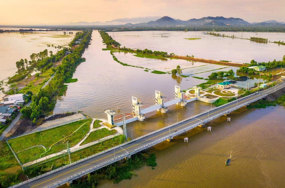 The Tra Su (Trà Sư) culvert is an irrigation project that aids in the regulation and control of floodwaters in the Long Xuyen quadrangle area. The Long Xuyen (Long Xuyên) quadrangle has transformed from wilderness to a rich rice farming area as a result of irrigation system investment.
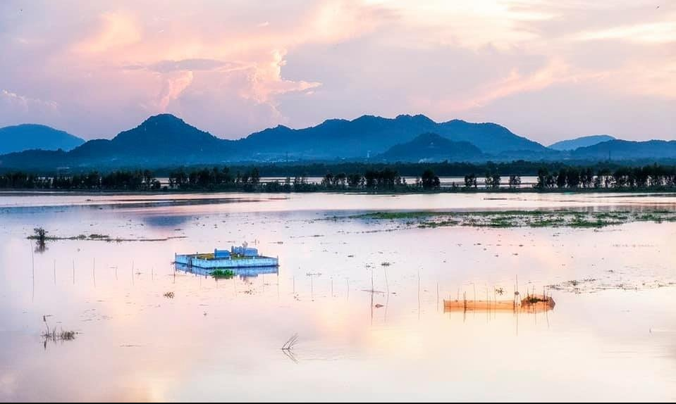 An Giang is well-known for spiritual tourism, with visitors flocking to the Ba (Bà) Pagoda festival in Mount Sam, Chau Doc, or to Cam (Cấm) Mountain, Tinh Bien (Tịnh Biên), to take in the scenery of the floating water season.
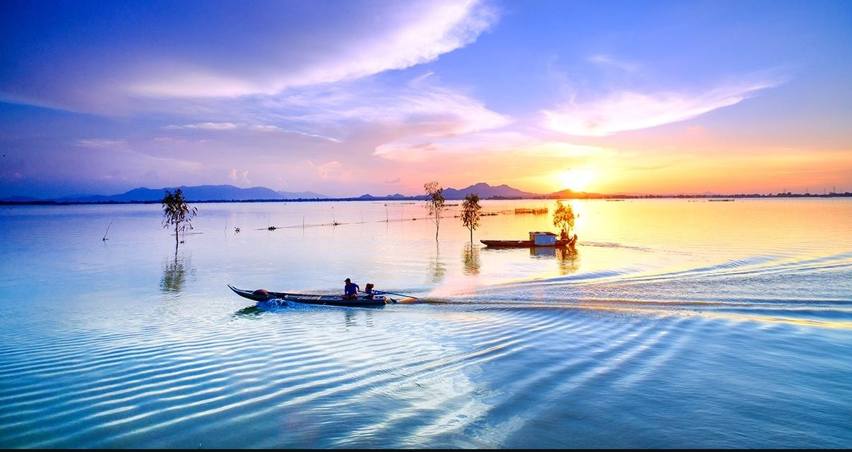 An Giang is the same province as An Giang, but with different natural conditions in the Mekong Delta, where vast mountains, forests, and rice fields fly straight wings. Visitors can see the Cam (Cấm) Mountains in the distance from the flooded field in the Tinh Bien flood zone.
 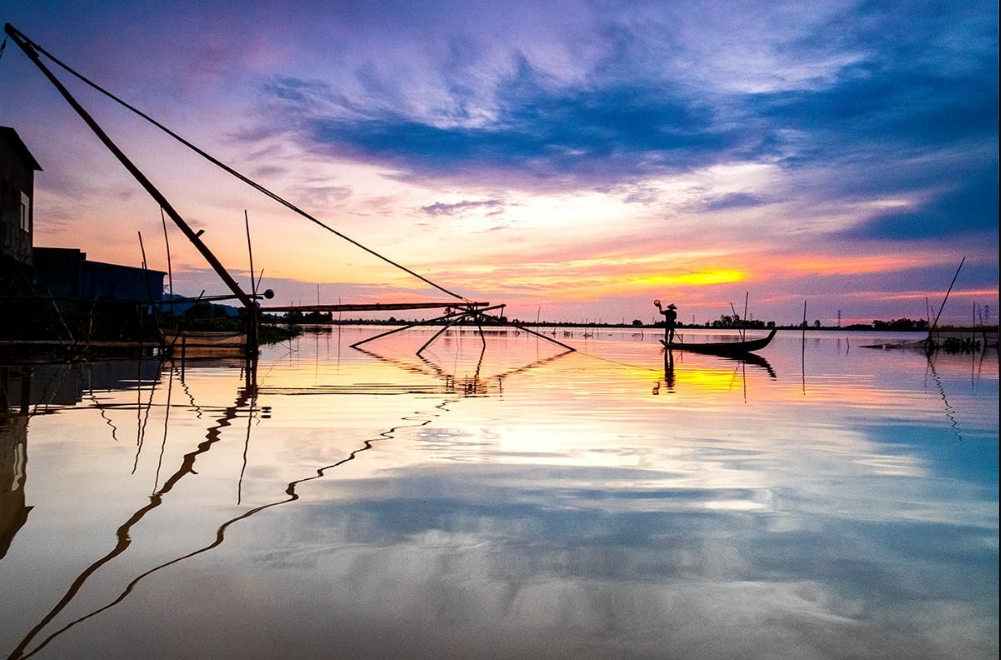 The "dance" at sunset in Tha La's flooded field paints a beautiful picture of nature.
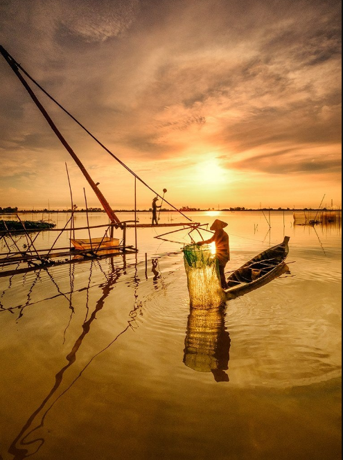 The scene as drawn
 Beautiful, peaceful river
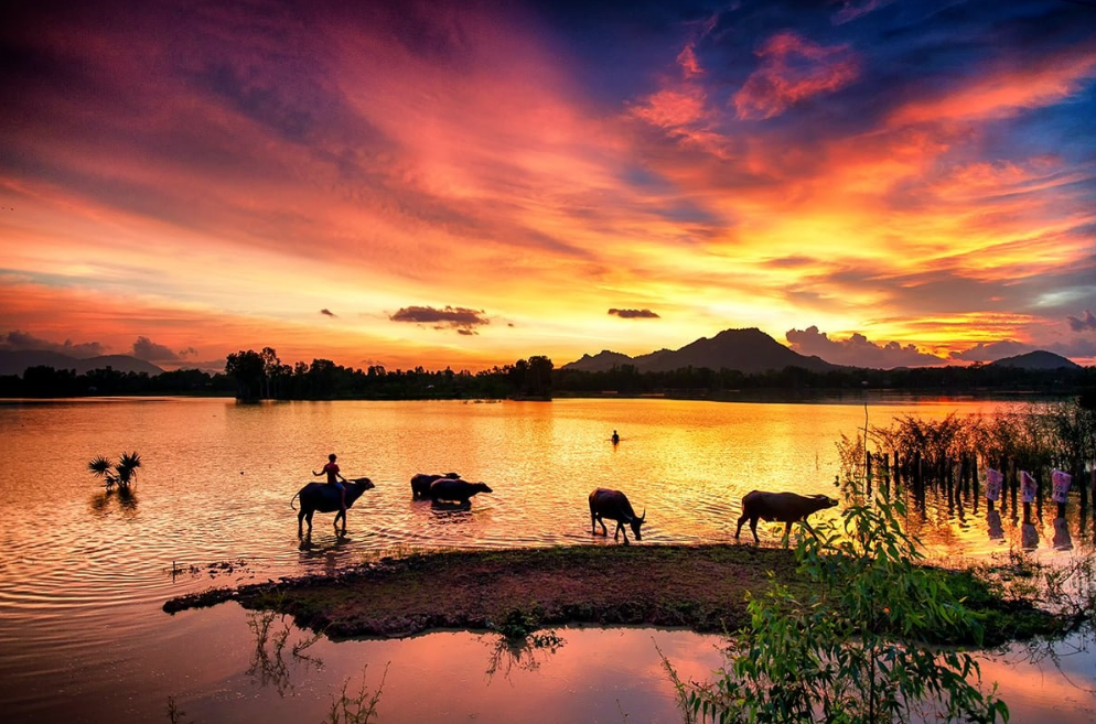 The photographs evoke many memories for readers of the peaceful countryside of Vietnam.
An Giang is 230 kilometers from Ho Chi Minh City and is no longer connected by ferries across the Tien Hau (Tiền, Hậu) River, so the road is convenient. Mount Sam, Cam (Cấm) Mountain, Tuc Dup (Tức Dụp) Hill, Co To (Cô Tô) Mountain, Soài So Lake, Ta Pa (Tà Pạ) Lake, O Thum (Ô Thum) Lake, Tra Su (Trà Sư) Melaleuca Forest... Visitors can also visit Cham (Chăm) Chau Phong (Châu Phong) village, which contains the Jamiul Azhar Mosque, Khmer village, which contains the Koh Kas pagoda, Tual Prasat pagoda, Ba Chua Xu (Bà Chúa Xứ) temple, and Tay An Co Tu (Tây An Cổ Tự) Temple... An Giang also has the Long Xuyen (Long Xuyên) floating market, the Tinh Bien (Tịnh Biên) border market, and Chau Doc (Châu Đốc), which has many unusual and appealing dishes.
Source: Huỳnh Phúc Hậu - Hoàng Minh Tuệ